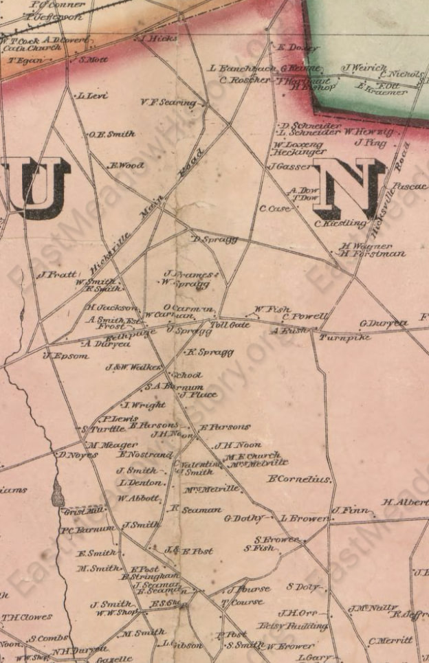
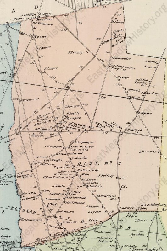
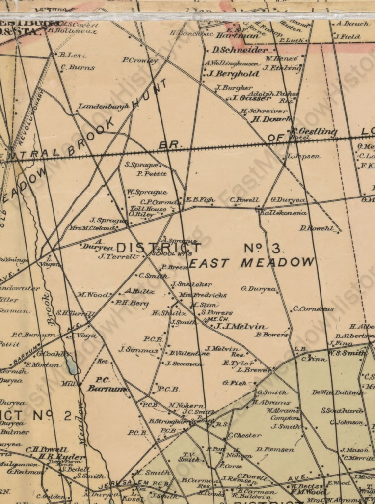
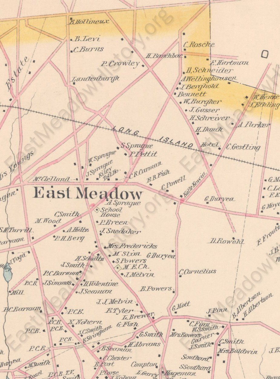
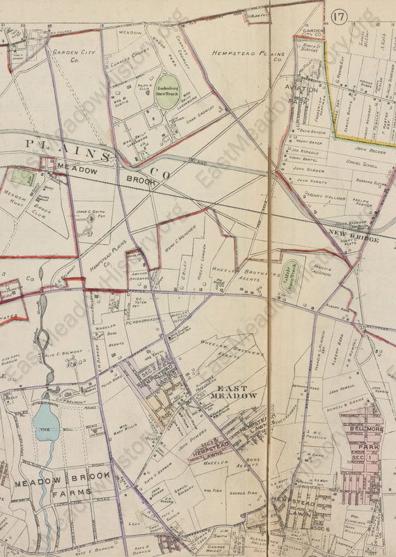
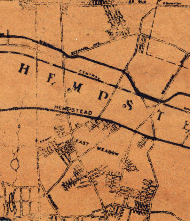
• East Meadow Home
  • Community Photos
  • Family History & Photos
  • Archives
    • East Meadow Map Archive
    • East Meadow Newspaper Article Archive
    • East Meadow Document Archive
    • East Meadow Advertisement Archive
  • Connect
  • INTERACTIVE MAP
  • Purchase Books
  • Related Links
East Meadow History

EAST MEADOW MAP ARCHIVE

Historic Maps

Hover over each map to see the year it was printed and its source.  All maps are cropped to include only the East Meadow area.  Certain maps were purposely omitted from this collection (e.g., 1927 E. Belcher-Hyde) because the plates were more speculative than factual, which could be extremely misleading to a researcher.
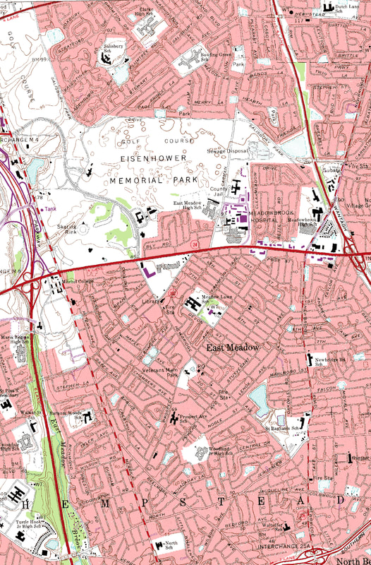
1859 Topographical Map of the Counties of Kings and Queens New York (H.F. Walling, Library of Congress)
1873 North Part of Hempstead Queens County, Long Island (Beers, Comstock & Cline, David Rumsey Historical Map Collection)
1886 New Map of Kings and Queens Counties, New York (J.B. Beers & Co., Library of Congress)
1891 Atlas of Queens County, Long Island, New York: Town of Hempstead (Chester Wolverton, New York Public Library)
1906 Atlas of Nassau County, Long Island (E. Belcher-Hyde, Stony Brook University)
1914 Atlas of Nassau County, Long Island (E. Belcher-Hyde, New York Public Library)
1931 Robert Moses (Howard Kroplick)
1946 Nassau County (Hagstrom, Historic Map Works)
1979 U.S. Geological Survey, Freeport Quadrangle

Current East Meadow Map

Use the standard Google Map to browse East Meadow today.

Human geographical and residential genealogical research 2015-2017 by Scott Eckers.
Powered by Create your own unique website with customizable templates.
  • East Meadow Home
  • Community Photos
  • Family History & Photos
  • Archives
    • East Meadow Map Archive
    • East Meadow Newspaper Article Archive
    • East Meadow Document Archive
    • East Meadow Advertisement Archive
  • Connect
  • INTERACTIVE MAP
  • Purchase Books
  • Related Links